- What is the Main South Road Duplication Project - Stage 2?
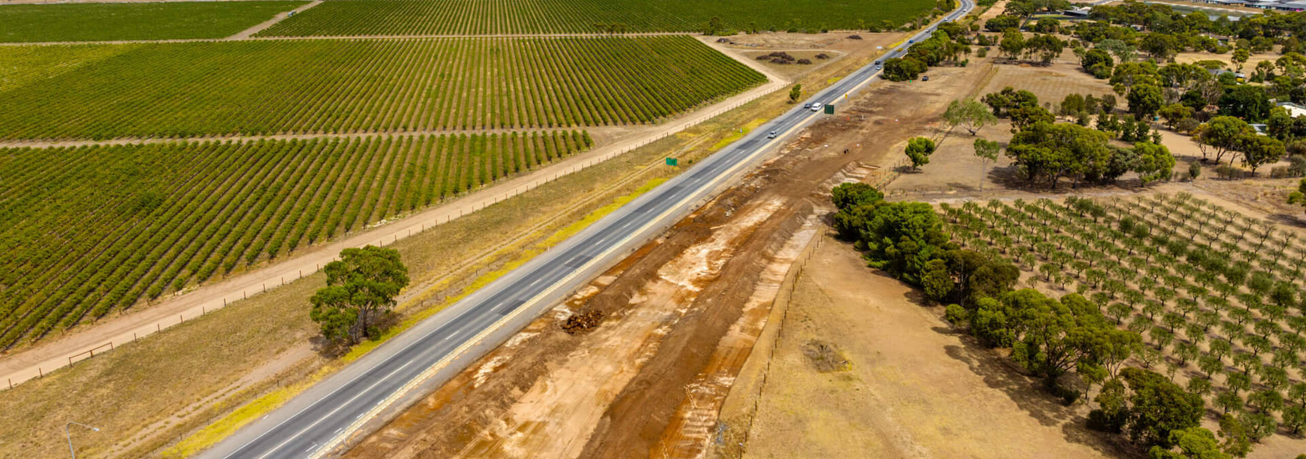
Main South Road is being duplicated between Port Road, Aldinga and Sellicks Beach. This will include the realignment of Aldinga Road and Aldinga Beach Road and the creation of a new interchange at this intersection. Project works commenced in 2024 and project completion is anticipated in 2026.
- What is the Main South Road Duplication Project - Stage 1?
Main South Road has been fully duplicated between Griffiths Drive, Seaford and Port Road, Aldinga.
This has included:
- a grade separation (overpass) at the intersection of Tatachilla Road and Maslin Beach Road;
- a grade separation (underpass) at the intersection of Port Road;
- a four-lane bridge over Pedler Creek
-an agricultural machinery underpass at Thomas and Branson Roads
- a Shared Use Path for pedestrians and cyclists along the length of the upgrade with links to Aldinga and the Coast to Vines Rail Trail.
- What is the Victor Harbor Road Duplication Project?
Victor Harbor Road, between Main South Road and the McLaren Vale turn off has been duplicated with additional safety treatments along Victor Harbor Road (including an overtaking lane at Hindmarsh Valley).
A planning study is also being undertaken to investigate the preferred solution for Victor Harbor Road between Main Road, McLaren Vale and Tatachilla Road and to Willunga Hill.
- Why are speed limits reduced on new roads?
Traffic can travel on a new road surface but still have a project area under construction.
When a new road opens, speed limits are reduced for a period of time.
The main reason for these short-term changes is safety.
Reduced speed limits are put in place to allow any final work activities to be completed and to ensure the road surface is adequately prepared for higher traffic speeds.
Even after a road has opened to traffic, workers may still need to finish activities such as landscaping, kerbing, line-marking or pouring final asphalt. Reduced speed limits help to alert road users that they are entering a construction zone.
‘Wearing in’ a new road
A bitumen road is made up of layers; a foundation layer that is placed on the ground, followed by base layers, then a waterproofing prime coat layer, and a top layer of asphalt—or wearing course.
Once the wearing course has been laid, a period of lower speed limits is required to ‘wear in’ the new surface.
When roads open, the speed limit often starts at 60km/h, which allows the surface layer to compact and wear down slightly, exposing some of the higher friction layer underneath.
Initial reduced speeds allow the road surface to develop the appropriate traction for safe driving at higher speeds. The road must be tested and reach certain levels of skid resistance before the speed limit can be raised.
Testing the new surface
According to guidelines set by the Department for Infrastructure and Transport, lowered travelling speeds and appropriate signage must remain until the road reaches a certain level of friction and skid resistance—measured in grip units.
This is tested by a special friction tester which is towed at prescribed speeds while its grip and pull on the road is measured.
The road needs to achieve 0.35 grip units, which is the measure deemed safe for moving to a higher speed limit.
Once the road passes the appropriate skid testing, this is reported to the Department for Infrastructure and Transport who determine when the speed limit will be reset.
- How is Aboriginal heritage being considered?
We recognise the Kaurna and Others Native Title Determination for this area, and the Kaurna peoples continuing connection to this land. It is intended that the Fleurieu road duplication projects will deliver and enhance the social, cultural, environmental and economic benefits to the region, including for Aboriginal peoples. We will continue to engage with the Aboriginal community, their representative bodies, community groups and any Aboriginal people who have an interest in the area. (See Aboriginal Heritage factsheet)
- Will vegetation be impacted by the works?
Planning identified that the existing width of the Main South Road road carriageways does not allow for road duplication and intersection upgrades without some vegetation removal.
Flora and fauna surveys are used to minimise project impacts, and inform detailed design and the development of flora and fauna management measures. (See Vegetation Factsheet)
- How about access for emergency services?
We will continue to engage with emergency services to ensure necessary and safe access is provided. Our team regularly meets with emergency services groups and provides information on our works.
- How much will the project cost?
The Australian and South Australian governments committed a total of $810 million to fund the Fleurieu Connections projects, which are being delivered by the Fleurieu Connections Alliance (FCA). This includes the further $250 million committed by the South Australia Government, to deliver on the election commitment for full duplication of Main South Road between Seaford and Sellicks Beach, grade separation and road alignment at Aldinga Beach Road and Aldinga Road
- What is the Main South Road Duplication Project - Stage 2?
- What is the Main South Road Duplication Project - Stage 1?
- What is the Victor Harbor Road Duplication Project?
- Why are speed limits reduced on new roads?
- How is Aboriginal heritage being considered?
- Will vegetation be impacted by the works?
- How about access for emergency services?
- How much will the project cost?

